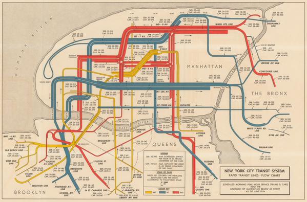
1954: New York City Transit System Map
Here's a map, a scant 10 years before LBJ might have taken the IRT down to 4th Street, USA. When he'd get there, what would he see? The tubes of America, all jumbly!
Apologies to Gerome Ragni and James Rado.
But today we barely recognize this map. Red is the new blue. Green is the old blue. Blue is red. HeLp?! And what's with all this IRT, IND, Broadway line stuff? And why does Manhattan look like a hamsteak.
As the youth say today: #<3. Or flames!
Now, try to find Bloomingdale!


 RSS Feed
